Why Typhoon 25 – Dujuan has Nagoya with fingers crossed for Sept 21
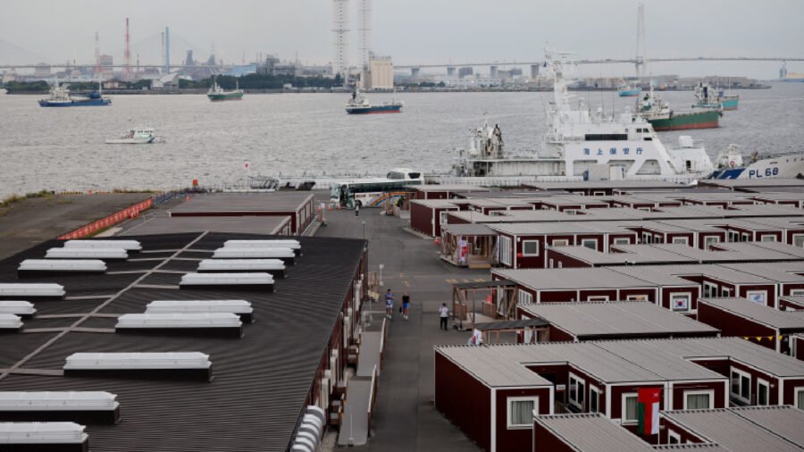
The Asahi Shimbun media outlet reported that Typhoon No. 25 was moving west near Chichijima island (1030 kms to north of Nagoya) and could head into the Pacific coast of eastern Japan on September 20-21.
Quoting the Japan Meteorological Agency (JMA), residents of the distant Ogasawara islands, located south of Tokyo, were put on high alert for landslides on September 19 and to take precautions against high waves and strong winds. Nagoya, located in central Japan, hosts the Asian Games from September 19 to October 4.
The Asahi Shimbun quoted the JMA as saying that the storm could turn northward and then northeastward and bring heavy rain from eastern Japan to the northeastern Tohoku region (850 kms from Nagoya).
Story continues below.
Subscribe to see fewer ads.
Asahi said that rainfall over the 24-hour period through noon on Sept. 21 is forecast to reach a maximum of 200 millimetres in the Kanto region (350 km from Nagoya) and the Izu islands (265 kms from Nagoya).
However, residents along the Pacific coast from the Tokai (17 kms from Nagoya) to Tohoku regions (820 kms) as well as in the Izu islands, were advised to be on alert for landslides, flooding in low-lying areas and rising rivers from September 20 to 21.
Japan’s chef de mission for the Games Kosei Inoue, who is also senior executive board member of the Japanese Olympic Committee (JOC), had told the media on Thursday that due to the weather some postponements and delays are likely in the sports schedule, around September 21 due to the Typhoon dubbed Dujuan.
“Due to the heavy rain and severe weather, some competitions have already experienced delays or postponements, and there is also a possibility that a typhoon could approach on September 21,” he told reporters. “Under these circumstances, we are holding thorough meetings within the JOC to ensure that we are fully prepared and capable of responding appropriately to these situations.”
Story continues below this ad
Dujuan had moved west-northwest at 40 kph about 310 kilometers southeast of Chichijima island on Friday, as per the forecast. “The typhoon had a central pressure of 975 hectopascals, with maximum sustained winds of 108 kph near the center and maximum gusts of 162 kph. Although the storm had shrunk in size from the previous day, it gained strength. The typhoon is expected to move east of the Kanto region by the morning of Sept. 21,” Asahi Shimbun wrote.
The Japanese met office predicted that by the morning of September 22, the typhoon is forecast to move toward the ocean east of Japan and turn into an extratropical cyclone, leading to rains at Tokyo.
“Nagoya and Osaka are also likely to experience mostly cloudy conditions, although the chance of rain is expected to be lower than in Tokyo. Fukuoka may have more sunny days during the latter half of the Sept. 19 to 23 holiday period,” Asahi wrote.

India vs South Korea: Hyeon Chung and a blast from the past
By Sohail Khan · 18 Sep
MCA asks BCCI for U-17 girls tournament, more international matches at Wankhede
By Sohail Khan · 18 Sep
NODWIN Gaming enters mainstream sports to build new-age sporting properties
By Sohail Khan · 18 Sep
Leave a Reply