Houston weather forecast for Tuesday: Is HISD closing schools as Tropical Depression Five nears Texas? Latest updates
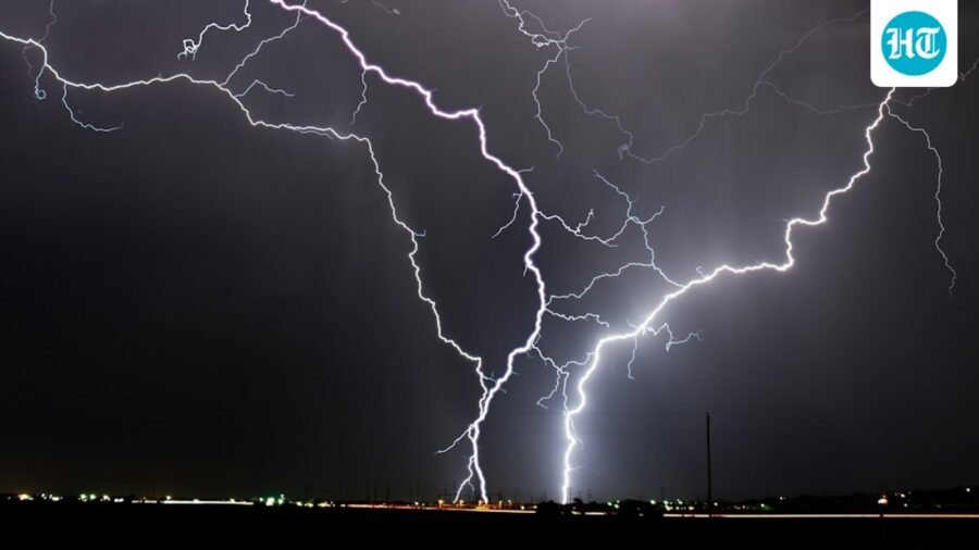
Several Southeast Texas school districts are closed Tuesday as a flood watch takes effect ahead of Tropical Depression Five's landfall.
Published on: Sep 1, 2026, 05:11:27 IST
Prefer HTon Google
Share via
Copy link
Multiple school districts across Southeast Texas announced Monday that they will close schools on Tuesday ahead of Tropical Depression Five as it moves toward the region.
List of school districts closed Tuesday
The following school districts announced that campuses, offices, and school activities will be closed on September 1 due to inclement weather, as per ABC13:
- Anahuac ISD
- Channelview ISD
- Crosby ISD
- Dayton ISD
- Galena Park ISD
- Huffman ISD
- Humble ISD
- Liberty ISD
- Sheldon ISD
- Tarkington ISD
There have been no announced closures for Wednesday so far, but officials from the districts said they are monitoring weather conditions and will share updates as needed.
Deep Dive
Powered ByAsk
Flood watch issued for Houston region
A flood watch has been issued for Houston and much of Southeast Texas as the tropical system, likely to become Tropical Storm Edouard, threatens to bring heavy rain to the region on Tuesday.
The watch takes effect at 1am Tuesday and remains in place through Wednesday morning, covering areas generally along and east of Interstate 45. Rain could begin along the upper Texas coast before sunrise and spread inland toward Houston around midday, per the Houston Chronicle.
Cities and counties included in the Flood Watch area
The flood watch covers Houston and Harris, Montgomery, Fort Bend, San Jacinto, and Polk counties, according to the Houston Chronicle.
As per NWS, the affected area also stretches across a large part of Southeast Texas, including Huntsville, Conroe, College Station, Madisonville, Katy, Sugar Land, Liberty, Beaumont, Winnie, Anahuac, League City, Galveston, Angleton, and Freeport.
Where could the heaviest rain fall?
Rain will vary across Southeast Texas, with the biggest flooding risk where heavy rain stays over the same areas.
Areas east of Interstate 45 could get 3 to 5 inches of rain through Tuesday night and early Wednesday, while some spots could see 6 to 9 inches. Rain could fall at more than 3 to 4 inches per hour, raising the risk of flash flooding, especially in cities. Tuesday afternoon and evening could be the hardest time for travel, as per Houston Chronicle.
Storm path and wind threat
The storm’s path will decide where the heaviest rain falls. A track closer to Sabine Pass could send more rain toward Beaumont, while a farther-west path could increase the flood risk in Houston, per Houston Chronicle.
The system could reach the upper Texas coast Tuesday afternoon or evening, likely between High Island and the Texas-Louisiana border. Tropical storm warnings remain in effect for Chambers County, the Bolivar Peninsula and nearby coastal waters through Wednesday morning.
Coastal areas could see 40 to 50 mph wind gusts, while stronger rain bands farther inland could bring gusts of 30 to 40 mph. More rain and storms may continue into early Wednesday.
See Less



Bluesky down again: Users report ‘upstream timeout’ errors amid outage
By Sohail Khan · 30 Sep