Will a hurricane hit California? Here’s what forecasters say about potential storm and timing
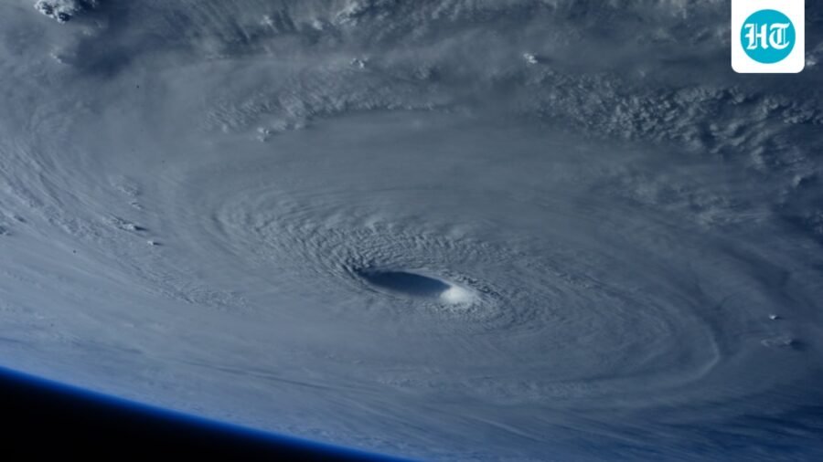
Will a hurricane hit California? Here's what forecasters say about potential storm and timing
A tropical disturbance off Baja California has a chance of developing into a tropical depression this week.
Published on: Aug 31, 2026, 11:06:18 IST
Prefer HTon Google
Share via
Copy link
Meteorologists are closely monitoring a tropical disturbance developing off the coast of Baja California. Forecast models indicate it could become a tropical depression within days and potentially strengthen into a hurricane over the eastern Pacific.
Experts emphasize that it is too early to predict the system's precise power or trajectory as it approaches land, even if it may eventually head toward Southern California.
According to the National Hurricane Center (NHC), the disturbance has an 80% chance of developing into a tropical depression within the next 48 hours and a 90% chance within the next seven days.
KTLA meteorologist Kaj Goldberg said computer models suggest the system could organize off Baja California by Thursday. It will move northward toward Southern California over the following week.
“This is the disturbance that, if it does form and come together, could make its way right into Southern California about one week from today,” Goldberg said.
Could California see a hurricane?
At present, forecasters say the storm could strengthen into a hurricane by Friday or Saturday while it remains over the warm waters of the eastern Pacific. However, it is expected to weaken before reaching California because tropical cyclones typically lose strength over cooler waters and after interacting with land.
National Weather Service meteorologist Bryan Lewis explained that the system is not yet a tropical storm.
A tropical depression has sustained winds below 38 mph. It becomes a tropical storm when winds reach 39 to 73 mph. A hurricane requires sustained winds of at least 74 mph, according to the National Hurricane Center.
If current projections hold, the system could approach Southern California as a weakened tropical storm or a post-tropical system by the weekend or early next week. Even in a weakened state, it could bring heavy rain, thunderstorms, gusty winds, high humidity and localized flooding.
El Niño in the Pacific Ocean
Meteorologists say unusually warm ocean temperatures are increasing the chances of tropical development in the eastern Pacific. Sea surface temperatures off Southern California are currently 5 to 10 degrees above average. Hence, waters near Los Angeles County are measuring between 74 and 76 degrees Fahrenheit.
A developing “super” El Niño is warming the eastern Pacific and creating favourable conditions for stronger tropical systems. The National Weather Service's Climate Prediction Center has projected a very strong El Niño pattern through the coming autumn and winter.
The Pacific basin is already active, with several tropical systems generating large swells. Among them is Hurricane Karina, which is forecast to strengthen while remaining over open water.
Direct tropical storm landfalls in California remain uncommon. Lewis noted that the last confirmed tropical storm to make landfall in the state occurred in 1939. More recently, Hilary brought widespread rain and flooding to Southern California in August 2023.
See Less

Bluesky down again: Users report ‘upstream timeout’ errors amid outage
By Sohail Khan · 30 Sep
Supreme Court lets Trump resume deporting migrants to countries not their own
By Sohail Khan · 30 Sep